Now hiring | Multiple roles
View active rolesNow hiring | Multiple roles
View active roles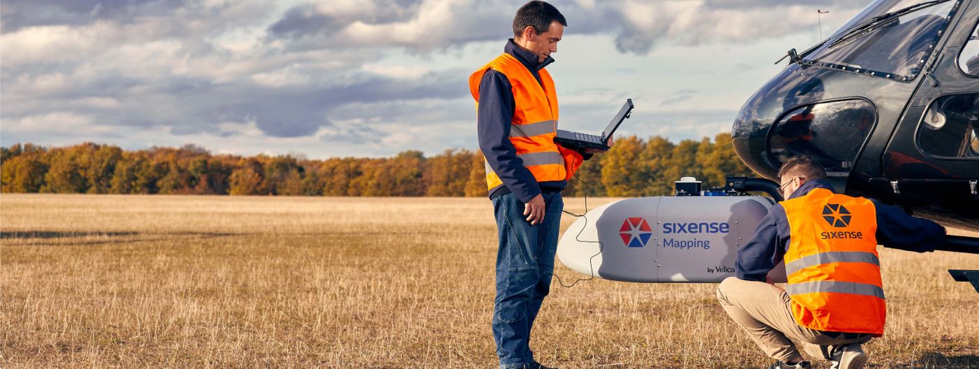
Airborne and terrestrial scanning solutions when accuracy matters.
We combine LIDAR and imagery to accurately map your assets with topographic accuracy.
Over two decades we've developed specific hardware and solutions for digitisation of large or complex structures with a high level of accuracy.
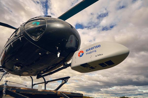
Our technology of choice is helicopter borne LIDAR combined with high resolution images with in-house designed acquisition pods for quality mapping of linear assets; highway, railway, power lines, etc…
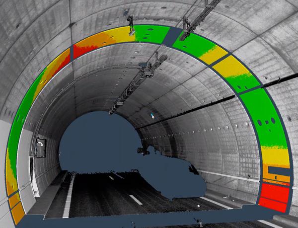
Taking advantage of our experience of monitoring all kinds of infrastructures, we’ve extended our capabilities to include Laser Scanning as a monitoring technique with a strong emphasis on accuracy.
The outcome is a powerful solution used either for “as built” infrastructure definition or regular deformation monitoring.
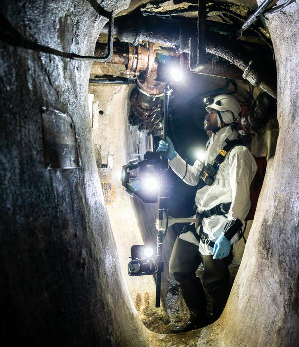
CamTree™ is Sixense patented solution for creating 3D photogrammetric models of confined environments. This solution excels in accuracy and productivity when traditional technologies are limited.
Drawing on our experience in large projects in this area, we’ve developed automatic processes for providing accurate photogrammetric models of tunnel face.